Dixie Mainline Road
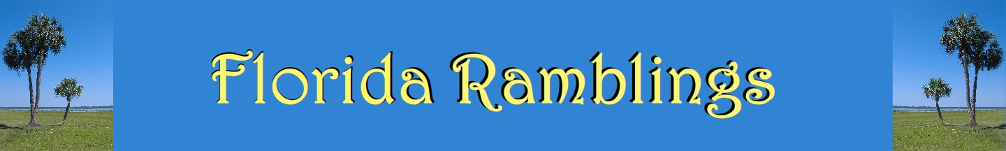
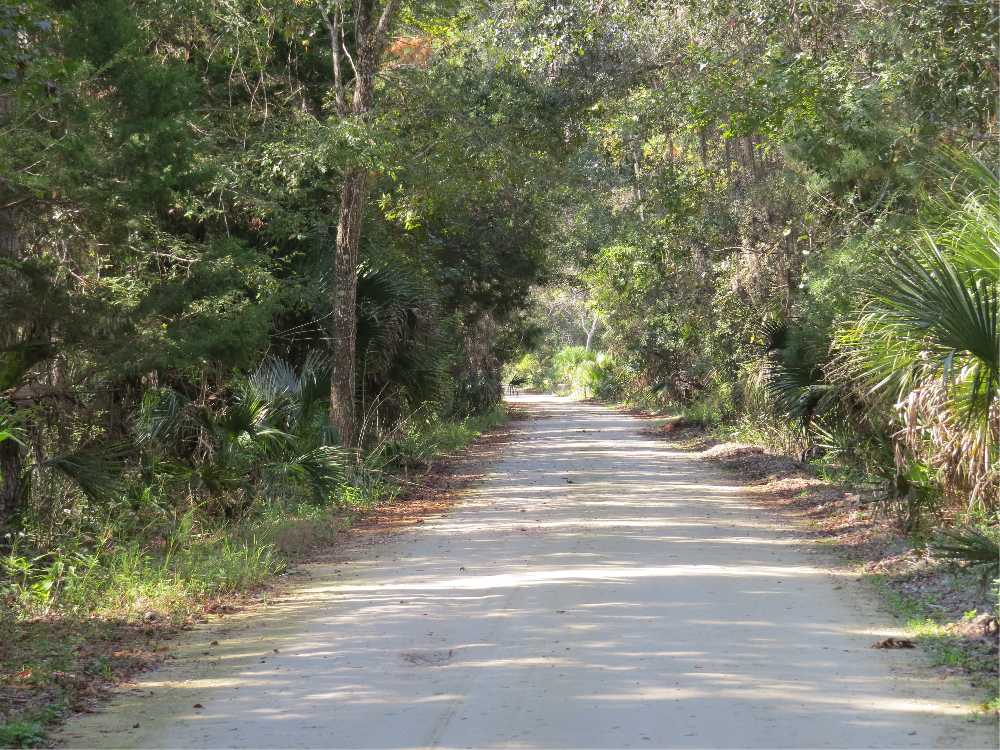
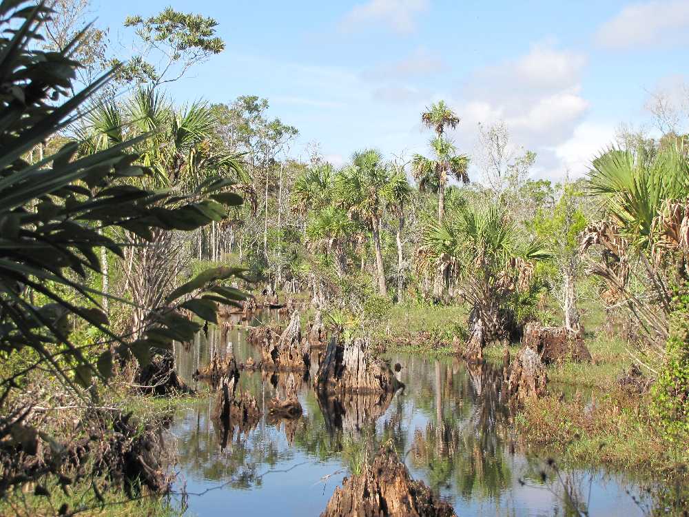
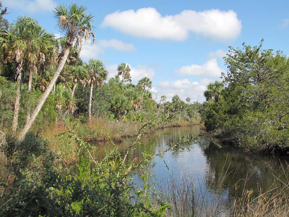
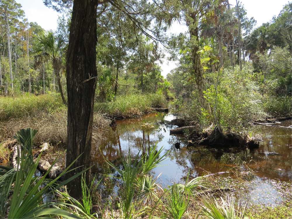
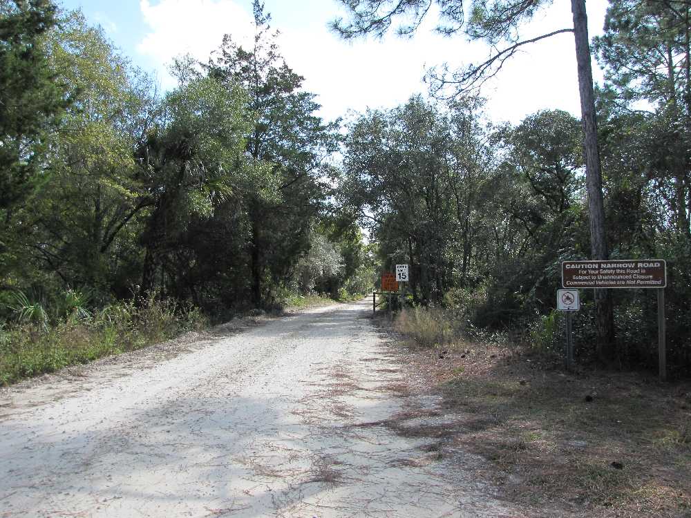
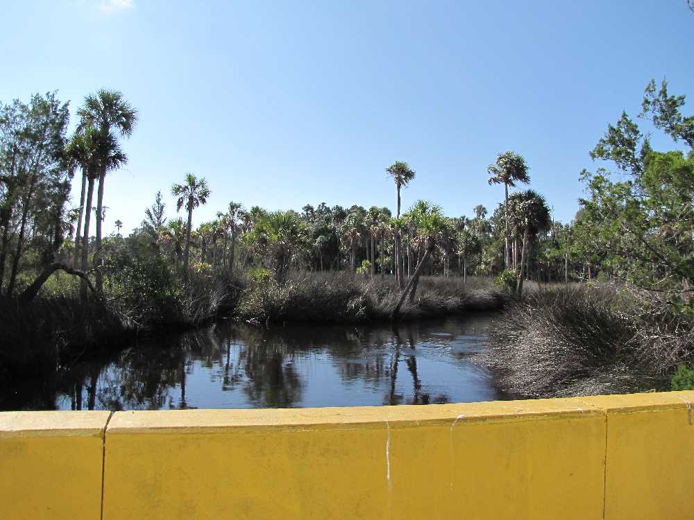
If you have a hankering for getting out into Florida’s wild, back country, take the 8.5 mile Dixie Mainline Road. You can drive the old logging railroad bed that was built in the 1920’s by the Putnam Lumber Company and used by them to haul out cypress and pine until 1940, or you can hike or bike the trail. With a speed limit of 25mph, it will take a good half hour or more to drive the scenic road. Photo opportunities abound along the road that passes through terrain which changes from marshland and tidal creeks to hardwood hammocks and forests of pine to swamps with giant cypress. The road is located within the Lower Suwannee National Wildlife Refuge. Some visitors may enjoy kayaking or canoeing the creeks such as Salt Creek and Shired Creek. Others may fish or hunt within the Refuge.
From Cross City, follow CR351 south for 8 miles then make a left to follow CR357 for about 7 miles then turn left onto Dixie Mainline Road.
From Old Town, follow CR349 south for about 21 miles then turn right onto Dixie Mainline Road.
|